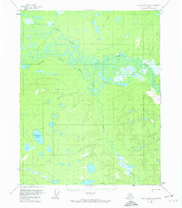
1956 Map of Black River B-6
USGS Topo · Published 1974About this map
Grass River and the Little Black River wind through this interior Alaskan wilderness, forming a complex network of wetlands and meandering waterways as documented during the mid-1950s. The landscape is defined by an intricate system of aquatic features, including the expansive Tiechovun Lake and Vunle Lakes, which dominate the northern and central portions of the quadrangle. A solitary Tractor Trail provides a rare indication of human passage through the low-lying terrain north of the Sucker River. This 1956 survey, later revised in the 1970s, illustrates the natural drainage patterns of the region, where Big Creek and Mardow Lake sit amidst a mosaic of unnamed ponds and seasonal marshes typical of the Yukon-Koyukuk region.
Find a feature on this map
9 named features on this map. Tap any name to fly to it.
Don’t see what you’re looking for? This feature index may not catch every label — zoom into the map to look around manually.
Map Details
Editions of this 1956 Black River B-6 Map
3 editions found
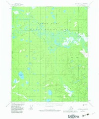
Other maps of this area

1951 · Fort Yukon
USGS Topo · 1:250,000

1951 · Black River
USGS Topo · 1:250,000

1956 · Fort Yukon C-1
USGS Topo · 1:63,360

1956 · Black River B-6
USGS Topo · 1:63,360

1956 · Black River B-5
USGS Topo · 1:63,360

1956 · Black River C-6
USGS Topo · 1:63,360

1956 · Fort Yukon B-1
USGS Topo · 1:63,360

1956 · Black River C-5
USGS Topo · 1:63,360

1956 · Fort Yukon A-1
USGS Topo · 1:63,360

1956 · Black River A-6
USGS Topo · 1:63,360