
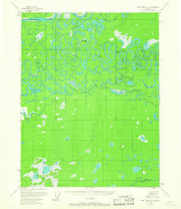
1956 Map of Fort Yukon C-1
USGS Topo · Published 1958About this map
The Porcupine River and Black River dominate this mid-century landscape in Alaska's interior, showing a complex network of active and former river channels. The territory is defined by its water-dependent transport and seasonal habitation, evidenced by landmarks like Thompson Cabin and another unnamed Cabin along the sloughs. These isolated structures provided essential shelter for travelers and hunters navigating the intricate wetlands of the Yukon-Koyukuk region.
Find a feature on this map
18 named features on this map. Tap any name to fly to it.
Don’t see what you’re looking for? This feature index may not catch every label — zoom into the map to look around manually.
Map Details
Editions of this 1956 Fort Yukon C-1 Map
2 editions found
Other maps of this area

1951 · Fort Yukon
USGS Topo · 1:250,000

1951 · Black River
USGS Topo · 1:250,000

1952 · Fort Yukon C-2
USGS Topo · 1:63,360

1955 · Fort Yukon D-2
USGS Topo · 1:63,360

1956 · Black River B-6
USGS Topo · 1:63,360

1956 · Black River D-6
USGS Topo · 1:63,360

1956 · Black River C-6
USGS Topo · 1:63,360

1956 · Fort Yukon B-1
USGS Topo · 1:63,360

1956 · Fort Yukon B-2
USGS Topo · 1:63,360
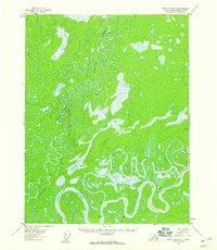
1956 · Fort Yukon D-1
USGS Topo · 1:63,360