
1956 Map of Black River B-2
USGS Topo · Published 1959About this map
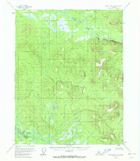
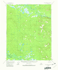
Salmon Fork Black River and the Grayling Fork Black River dominate this interior Alaskan landscape, which was mapped by the Geological Survey during the mid-1950s using photogrammetric methods. The terrain is defined by a dense network of meandering waterways and lake-filled lowlands that transition into the high ground of Big Mountain. This survey was conducted before roads or established trails reached this part of the Yukon-Koyukuk region, leaving the river systems as the primary conduits through the territory. Along the northern bank of the river, Pink Bluff stands as a distinct landmark against the surrounding wetlands and forested slopes, marking the topography of a region then accessible only by air or water.
Find a feature on this map
4 named features on this map. Tap any name to fly to it.
Don’t see what you’re looking for? This feature index may not catch every label — zoom into the map to look around manually.
Map Details
Editions of this 1956 Black River B-2 Map
3 editions found
Other maps of this area

1951 · Black River
USGS Topo · 1:250,000
1956 · Black River A-1
USGS Topo · 1:63,360

1956 · Black River A-2
USGS Topo · 1:63,360

1956 · Black River B-3
USGS Topo · 1:63,360

1956 · Black River B-1
USGS Topo · 1:63,360

1956 · Black River A-3
USGS Topo · 1:63,360

1956 · Black River C-2
USGS Topo · 1:63,360
1956 · Black River C-1
USGS Topo · 1:63,360

1956 · Black River C-3
USGS Topo · 1:63,360

1956 · Black River
USGS Topo · 1:250,000