
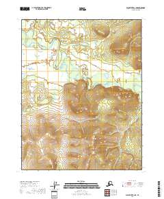
1956 Map of Black River B-1
USGS Topo · Published 1959About this map
John Roberts Cabin stands as a solitary named human landmark in this 1950s survey of the remote eastern interior of Alaska. The landscape is defined by the winding course of the Black River and its significant tributary, the Salmon Fork. As the terrain reaches the eastern edge of the sheet, the international border is marked by a series of boundary monuments, including Mon 71 and Mon 72, delineating the United States Canada line. The intricate drainage network of Drifting Snow Creek, Runt Creek, and Racquet Creek reveals a complex system of marshes and high-latitude wetlands characteristic of the Yukon basin before modern development. This map captures the area in a purely wild state, recording only the most essential geographic markers and an isolated trapper or traveler shelter.
Find a feature on this map
14 named features on this map. Tap any name to fly to it.
Don’t see what you’re looking for? This feature index may not catch every label — zoom into the map to look around manually.
Map Details
Editions of this 1956 Black River B-1 Map
2 editions found
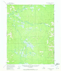
Other maps of this area

1951 · Black River
USGS Topo · 1:250,000
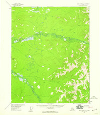
1956 · Black River A-1
USGS Topo · 1:63,360

1956 · Black River A-2
USGS Topo · 1:63,360

1956 · Black River B-2
USGS Topo · 1:63,360

1956 · Black River C-2
USGS Topo · 1:63,360
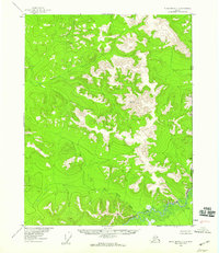
1956 · Black River C-1
USGS Topo · 1:63,360

1956 · Black River
USGS Topo · 1:250,000

1964 · Black River
USGS Topo · 1:250,000
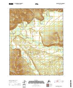
2018 · Black River B-1 NW
USGS Topo · 1:25,000
2018 · Black River B-2 NE
USGS Topo · 1:25,000