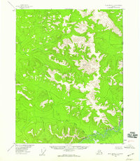
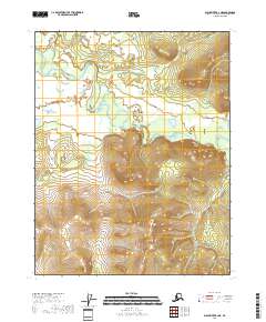
1956 Map of Black River C-1
USGS Topo · Published 1959About this map
The United States Canada international boundary defines the eastern edge of this 1950s survey, where the Alaskan interior meets the Yukon Territory. This high-altitude landscape is characterized by a complex drainage system that feeds into the Salmon Fork Black River at the bottom of the quadrangle. The topography is anchored by primary survey markers, including VABM 3208 White and VABM 2849 Circle, which served as critical control points for the International Boundary Commission and the Geological Survey. The lack of roads or established trails highlights the isolation of this border region during the mid-twentieth century. Narrow drainages like Tetthajik Creek and Rice Gulch carve through the high ground, illustrating the unpopulated and unmanaged character of the wilderness before modern development reached this far north.
Find a feature on this map
7 named features on this map. Tap any name to fly to it.
Don’t see what you’re looking for? This feature index may not catch every label — zoom into the map to look around manually.
Map Details
Editions of this 1956 Black River C-1 Map
2 editions found
Other maps of this area

1951 · Black River
USGS Topo · 1:250,000

1956 · Black River B-2
USGS Topo · 1:63,360

1956 · Black River B-1
USGS Topo · 1:63,360

1956 · Black River C-2
USGS Topo · 1:63,360

1956 · Black River D-2
USGS Topo · 1:63,360
1956 · Black River D-1
USGS Topo · 1:63,360

1956 · Black River
USGS Topo · 1:250,000

1964 · Black River
USGS Topo · 1:250,000
2018 · Black River B-1 NW
USGS Topo · 1:25,000
2018 · Black River B-2 NE
USGS Topo · 1:25,000