
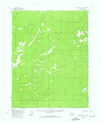
1956 Map of Black River D-2
USGS Topo · Published 1959About this map
Salmon Trout River flows through the southeastern portion of this Interior Alaska landscape, which is defined by an intricate network of waterways and high-elevation terrain. This mid-century survey reflects the wilderness of the region shortly before statehood, emphasizing the drainage patterns of Kevinjik Creek and David Creek as they wind through the western reaches. The only fixed surveying monument noted is VABM Digit 2607, marking a high point in a territory otherwise absent of roads or permanent settlements. The map's contour lines illustrate a complex topography of ridges and valleys that dictate the course of the local river systems, providing an essential record for those studying the hydrologic history and remote geography of the Yukon-Koyukuk region.
Find a feature on this map
4 named features on this map. Tap any name to fly to it.
Don’t see what you’re looking for? This feature index may not catch every label — zoom into the map to look around manually.
Map Details
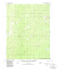
Editions of this 1956 Black River D-2 Map
3 editions found
Other maps of this area

1951 · Black River
USGS Topo · 1:250,000

1951 · Coleen
USGS Topo · 1:250,000

1956 · Coleen
USGS Topo · 1:250,000

1956 · Black River D-3
USGS Topo · 1:63,360

1956 · Coleen A-1
USGS Topo · 1:63,360

1956 · Coleen A-3
USGS Topo · 1:63,360

1956 · Black River C-2
USGS Topo · 1:63,360
1956 · Black River C-1
USGS Topo · 1:63,360
1956 · Black River D-1
USGS Topo · 1:63,360

1956 · Black River C-3
USGS Topo · 1:63,360