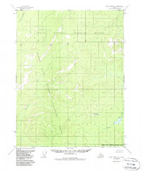
1956 Map of Black River D-2
USGS Topo · Published 1988About this map
Yukon Flats dominate the southwestern portion of this Alaskan interior landscape, where the meandering drainage of Kevinjik Creek flows toward the larger river systems. The map captures a wilderness in transition during the mid-1950s, defined by the expansive boundaries of the Arctic National Wildlife Refuge and the Yukon Flats National Wildlife Refuge. While largely devoid of permanent settlements, the presence of a lone Landing Strip and isolated Drill Holes indicates the early footprints of resource exploration and aerial access in this roadless territory. In the southeast, the Salmon Trout River carves through the terrain, illustrating the complex hydrology of the region. This 1956 survey, later updated with federal reservation boundaries, provides an essential record of the natural topography before modern land-use designations further altered the administrative landscape of the north.
Find a feature on this map
14 named features on this map. Tap any name to fly to it.
Don’t see what you’re looking for? This feature index may not catch every label — zoom into the map to look around manually.
Map Details
Editions of this 1956 Black River D-2 Map
3 editions found
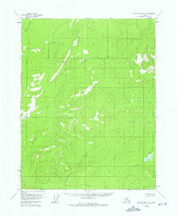
Other maps of this area

1951 · Black River
USGS Topo · 1:250,000

1951 · Coleen
USGS Topo · 1:250,000

1956 · Coleen
USGS Topo · 1:250,000

1956 · Black River D-3
USGS Topo · 1:63,360

1956 · Coleen A-1
USGS Topo · 1:63,360

1956 · Coleen A-3
USGS Topo · 1:63,360

1956 · Black River C-2
USGS Topo · 1:63,360

1956 · Black River D-2
USGS Topo · 1:63,360
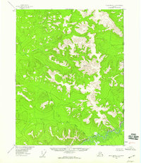
1956 · Black River C-1
USGS Topo · 1:63,360
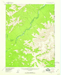
1956 · Black River D-1
USGS Topo · 1:63,360