
1956 Map of Black River C-2
USGS Topo · Published 1959About this map
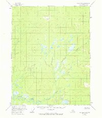
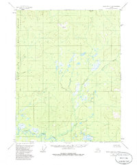
Salmon Fork Black River defines the southern boundary of this interior Alaskan landscape, winding through a corridor of low-lying wetlands and complex drainages. Based on aerial photography from 1955 and field annotations from 1956, this survey illustrates a remote wilderness defined by water and elevation rather than human settlement. The drainage of Tetthajik Creek dominates the eastern and central portions of the sheet, connecting a series of unnamed lakes and marshes that suggest a highly seasonal and shifting aquatic environment. The lack of roads or established trails in this area at the time of mapping underscores the isolation of the Yukon-Koyukuk region, where travel was likely dictated by the seasonal flow of the river systems. This map serves as a primary record of the natural topography before modern navigation or environmental changes altered these northern waterways.
Find a feature on this map
2 named features on this map. Tap any name to fly to it.
Don’t see what you’re looking for? This feature index may not catch every label — zoom into the map to look around manually.
Map Details
Editions of this 1956 Black River C-2 Map
3 editions found
Other maps of this area

1951 · Black River
USGS Topo · 1:250,000

1956 · Black River D-3
USGS Topo · 1:63,360

1956 · Black River B-3
USGS Topo · 1:63,360

1956 · Black River B-2
USGS Topo · 1:63,360

1956 · Black River B-1
USGS Topo · 1:63,360

1956 · Black River D-2
USGS Topo · 1:63,360
1956 · Black River C-1
USGS Topo · 1:63,360
1956 · Black River D-1
USGS Topo · 1:63,360

1956 · Black River C-3
USGS Topo · 1:63,360

1956 · Black River
USGS Topo · 1:250,000