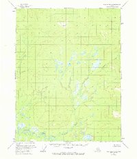
1956 Map of Black River C-2
USGS Topo · Published 1972About this map
Salmon Fork Black River dominates the southern landscape of this mid-century topographic study, winding through a complex network of wetlands and tributary systems. Surveyed via photogrammetric methods in 1955, the terrain is defined by the prominent VABM Mtn 2506 and the meandering course of Tetthajik Creek. The map documents a wilderness area devoid of established roads or trails during the 1950s, emphasizing the natural drainage patterns of the Yukon-Koyukuk region. The detailed portrayal of swamps and small lakes illustrates the hydrological character of the river valley before minor revisions were recorded in the early 1970s.
Find a feature on this map
3 named features on this map. Tap any name to fly to it.
Don’t see what you’re looking for? This feature index may not catch every label — zoom into the map to look around manually.
Map Details
Editions of this 1956 Black River C-2 Map
3 editions found
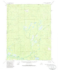
Other maps of this area

1951 · Black River
USGS Topo · 1:250,000

1956 · Black River D-3
USGS Topo · 1:63,360

1956 · Black River B-3
USGS Topo · 1:63,360

1956 · Black River B-2
USGS Topo · 1:63,360

1956 · Black River B-1
USGS Topo · 1:63,360

1956 · Black River C-2
USGS Topo · 1:63,360

1956 · Black River D-2
USGS Topo · 1:63,360
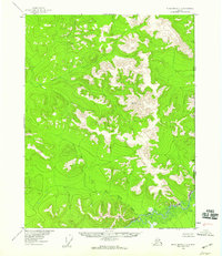
1956 · Black River C-1
USGS Topo · 1:63,360
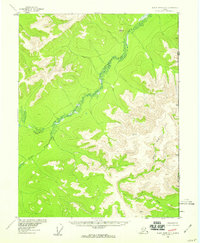
1956 · Black River D-1
USGS Topo · 1:63,360

1956 · Black River C-3
USGS Topo · 1:63,360