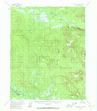
1956 Map of Black River B-2
USGS Topo · Published 1972About this map
Salmon Fork Black River and the Grayling Fork Black River dominate this interior Alaskan landscape, which remained largely unsurveyed on the ground at the time of this mid-1950s mapping. The map was produced primarily through photogrammetric methods from aerial photographs, reflecting the remote nature of the Yukon-Koyukuk region. Significant landmarks include the prominent elevation of Big Mountain and the distinctive geological formation at Pink Bluff. The terrain is defined by complex networks of wetlands, oxbow lakes, and the winding courses of the forks that eventually feed the Black River. Without roads or trails recorded in this area, the water bodies and high points like these served as the primary navigational markers for the region during this era.
Find a feature on this map
4 named features on this map. Tap any name to fly to it.
Don’t see what you’re looking for? This feature index may not catch every label — zoom into the map to look around manually.
Map Details
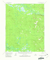
Editions of this 1956 Black River B-2 Map
3 editions found
Other maps of this area

1951 · Black River
USGS Topo · 1:250,000
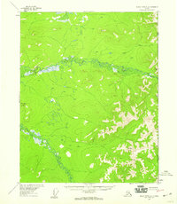
1956 · Black River A-1
USGS Topo · 1:63,360

1956 · Black River A-2
USGS Topo · 1:63,360

1956 · Black River B-3
USGS Topo · 1:63,360

1956 · Black River B-2
USGS Topo · 1:63,360

1956 · Black River B-1
USGS Topo · 1:63,360

1956 · Black River A-3
USGS Topo · 1:63,360

1956 · Black River C-2
USGS Topo · 1:63,360
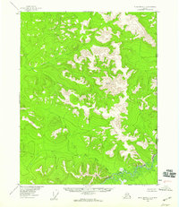
1956 · Black River C-1
USGS Topo · 1:63,360

1956 · Black River C-3
USGS Topo · 1:63,360