
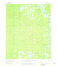
1956 Map of Charley River D-3
USGS Topo · Published 1960About this map
Bear Mountain and the neighboring Fanny Mtn anchor the northern reaches of this mid-century survey within the Yukon-Koyukuk region. The landscape is defined by its intricate drainage patterns, where the winding Wood River meanders along the eastern boundary and Van Hatten Creek flows through the southern terrain. This 1956 field-annotated sheet reflects a period when topographic data was largely derived from aerial photogrammetric methods, capturing an unsurveyed wilderness where land lines were predetermined by the Bureau of Land Management rather than physically marked on the ground.
Find a feature on this map
7 named features on this map. Tap any name to fly to it.
Don’t see what you’re looking for? This feature index may not catch every label — zoom into the map to look around manually.
Map Details
Editions of this 1956 Charley River D-3 Map
2 editions found
Other maps of this area

1951 · Charley River
USGS Topo · 1:250,000

1951 · Black River
USGS Topo · 1:250,000

1956 · Black River A-2
USGS Topo · 1:63,360

1956 · Black River A-4
USGS Topo · 1:63,360

1956 · Black River A-3
USGS Topo · 1:63,360
1956 · Charley River D-4
USGS Topo · 1:63,360

1956 · Charley River C-2
USGS Topo · 1:63,360

1956 · Black River
USGS Topo · 1:250,000

1956 · Charley River C-4
USGS Topo · 1:63,360
1956 · Charley River C-3
USGS Topo · 1:63,360