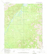
1956 Map of Charley River B-1
USGS Topo · Published 1971About this map
The Nation River winds through this remote borderland in the mid-1950s, serving as a primary corridor through the high-latitude terrain of the eastern interior. This survey, based on aerial photography from the early fifties, documents a landscape largely shaped by its hydrology, where significant tributaries like Tindir Creek and Ettrain Creek feed the main river system. In the northern reaches, the Step Mountains rise above the surrounding basin, while a distinct area labeled Jungle suggests a pocket of unusually dense or tangled vegetation. This map captures the region before extensive modern development, noting only the unsurveyed land lines and the international boundary between the United States and Canada. The presence of features such as Waterfall Creek and Hard Luck Creek hints at the difficult travel and natural obstacles encountered by early surveyors and trappers working these eastern drainages.
Find a feature on this map
8 named features on this map. Tap any name to fly to it.
Don’t see what you’re looking for? This feature index may not catch every label — zoom into the map to look around manually.
Map Details
Editions of this 1956 Charley River B-1 Map
3 editions found
Other maps of this area

1951 · Charley River
USGS Topo · 1:250,000

1956 · Charley River C-2
USGS Topo · 1:63,360
1956 · Charley River C-1
USGS Topo · 1:63,360
1956 · Charley River B-1
USGS Topo · 1:63,360

1956 · Charley River B-2
USGS Topo · 1:63,360

1956 · Charley River A-2
USGS Topo · 1:63,360

1956 · Charley River A-1
USGS Topo · 1:63,360

1956 · Charley River
USGS Topo · 1:250,000
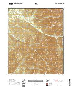
2018 · Charley River B-1 SE
USGS Topo · 1:25,000
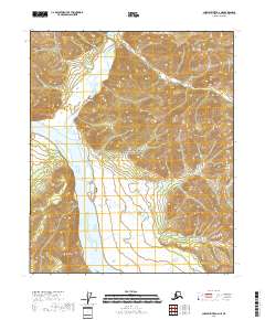
2018 · Charley River A-2 NE
USGS Topo · 1:25,000