
1952 Map of Ruby C-3
USGS Topo · Published 1985About this map
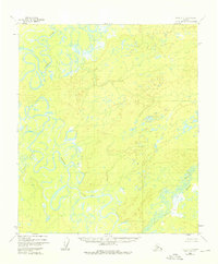
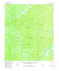
Nowitna River meanders through a landscape defined by expansive wetlands and complex river systems in this mid-century Alaksan interior survey. The terrain is characterized by the winding paths of the Sulatna River and Little Mud River, which carve through the region before being designated as part of the Nowitna National Wildlife Refuge. This mapping reflects the state of the wilderness in the early 1950s, shortly after the initial photogrammetric data was captured. A solitary Cabin situated along the lower reach of the Nowitna River represents a rare trace of human presence in a territory otherwise dominated by natural hydrology and shifting riverbanks. The absence of roads or established trails highlights the reliance on these waterways for navigation and access during this era of Alaskan history.
Find a feature on this map
5 named features on this map. Tap any name to fly to it.
Don’t see what you’re looking for? This feature index may not catch every label — zoom into the map to look around manually.
Map Details
Editions of this 1952 Ruby C-3 Map
4 editions found
Other maps of this area

1951 · Ruby
USGS Topo · 1:250,000

1952 · Ruby B-2
USGS Topo · 1:63,360

1952 · Ruby D-4
USGS Topo · 1:63,360

1952 · Ruby C-3
USGS Topo · 1:63,360

1952 · Ruby B-4
USGS Topo · 1:63,360

1952 · Ruby C-2
USGS Topo · 1:63,360

1952 · Ruby B-3
USGS Topo · 1:63,360

1952 · Ruby D-3
USGS Topo · 1:63,360

1952 · Ruby D-2
USGS Topo · 1:63,360

1952 · Ruby C-4
USGS Topo · 1:63,360