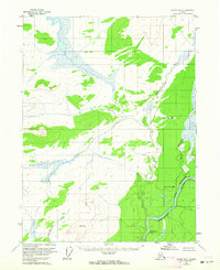
1956 Map of Coleen B-2
USGS Topo · Published 1964About this map
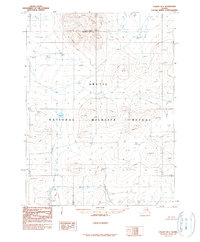
The Porcupine River carves through the southeast corner of this interior Alaskan wilderness, entering the dramatic canyon landscape of the Upper Ramparts. This 1950s survey captures a geography defined by its significant drainage systems, where the Rapid River and White Mountain Creek feed into the larger river basin amidst a network of unnamed lakes and wetlands. The terrain is carefully marked by early aviation and survey benchmarks, including VABM 1823 Howling and the triangulation points of Rapid North Base VABM 1089 and Rapid South Base VABM 1031. A notable geological landmark, the Half-Way Pillar, stands near the riverbank, serving as a distinct natural guidepost in a region devoid of roads or permanent settlements. The map illustrates the complex seasonal water patterns of the north, with Howling Dog Creek winding through the southwestern lowlands towards the Porcupine.
Find a feature on this map
9 named features on this map. Tap any name to fly to it.
Don’t see what you’re looking for? This feature index may not catch every label — zoom into the map to look around manually.
Map Details
Editions of this 1956 Coleen B-2 Map
2 editions found
Other maps of this area

1951 · Coleen
USGS Topo · 1:250,000

1956 · Coleen
USGS Topo · 1:250,000

1956 · Coleen B-2
USGS Topo · 1:63,360
1956 · Coleen B-1
USGS Topo · 1:63,360

1956 · Coleen A-1
USGS Topo · 1:63,360

1956 · Coleen A-3
USGS Topo · 1:63,360

1956 · Coleen A-2
USGS Topo · 1:63,360
1990 · Coleen C-2
USGS Topo · 1:63,360
1990 · Coleen C-1
USGS Topo · 1:63,360
1990 · Coleen B-3
USGS Topo · 1:63,360