
1954 Map of Ophir C-3
USGS Topo · Published 1965About this map
The Innoko River winds through an immense wetland landscape in the Alaska interior, its serpentine path defining the character of this mid-1950s survey. The map documents several riverside sites that had already been vacated by the time of the field annotation, including Dishkakat (Aban'd) and Simels (Aban'd) at the confluence with the Dishna River. These abandoned settlements, along with Rennies Landing (Aban'd), speak to a shifting human footprint in the Yukon-Koyukuk region. A Tractor Trail provides a solitary overland route between the river and the marshy basins containing Big Lake and Round Lake. To the north, the Wapoo Hills rise above the drainage of Wapoo Creek and Last Chance Creek, offering a stark contrast to the complex oxbows and sloughs that dominate the river valley floor.
Find a feature on this map
21 named features on this map. Tap any name to fly to it.
Don’t see what you’re looking for? This feature index may not catch every label — zoom into the map to look around manually.
Map Details
Editions of this 1954 Ophir C-3 Map
This is the sole edition of this map. No revisions or reprints were ever made.
Other maps of this area

1951 · Ophir
USGS Topo · 1:250,000
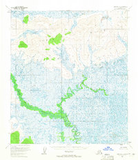
1954 · Ophir D-4
USGS Topo · 1:63,360

1954 · Ophir B-4
USGS Topo · 1:63,360
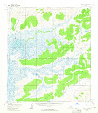
1954 · Ophir D-3
USGS Topo · 1:63,360

1954 · Ophir C-2
USGS Topo · 1:63,360

1954 · Ophir B-2
USGS Topo · 1:63,360

1954 · Ophir B-3
USGS Topo · 1:63,360
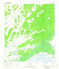
1954 · Ophir D-2
USGS Topo · 1:63,360

1954 · Ophir C-4
USGS Topo · 1:63,360

1954 · Ophir
USGS Topo · 1:250,000