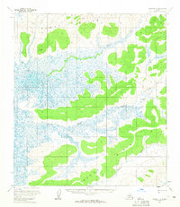
1954 Map of Ophir D-3
USGS Topo · Published 1965About this map
The Tlatlils Hills dominate this mid-century landscape in interior Alaska, rising above an intricate network of wetlands and waterways. Surveyed using photogrammetric methods from aerial photographs taken in 1953 and 1955, the map captures the untouched hydrological patterns of the Mud River as it meanders through the northern section of the quadrangle. The southern reaches are defined by the courses of Galatea Creek and Wapoo Creek, which thread through the low-lying terrain between the prominent ridges. This 1954 field-annotated survey is notable for its absence of man-made structures, trails, or settlements, providing a clear record of the natural topography and drainage basins of the Yukon-Koyukuk region before any modern infrastructure development.
Find a feature on this map
4 named features on this map. Tap any name to fly to it.
Don’t see what you’re looking for? This feature index may not catch every label — zoom into the map to look around manually.
Map Details
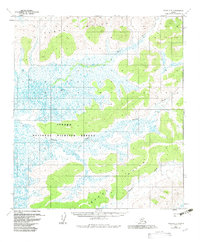
Editions of this 1954 Ophir D-3 Map
2 editions found
Other maps of this area

1945 · Nulato
USGS Topo · 1:250,000

1951 · Ophir
USGS Topo · 1:250,000

1951 · Nulato
USGS Topo · 1:250,000

1952 · Nulato A-2
USGS Topo · 1:63,360

1952 · Nulato A-4
USGS Topo · 1:63,360

1952 · Nulato A-3
USGS Topo · 1:63,360

1952 · Nulato
USGS Topo · 1:250,000
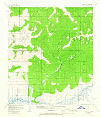
1953 · Nulato A-4
USGS Topo · 1:63,360
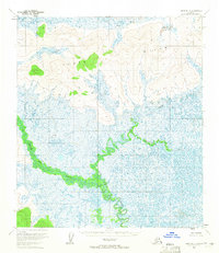
1954 · Ophir D-4
USGS Topo · 1:63,360

1954 · Ophir C-3
USGS Topo · 1:63,360