
1952 Map of Nulato A-3
USGS Topo · Published 1957About this map
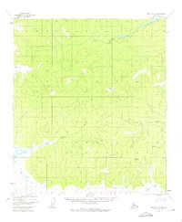
The Yuki River and its East Fork Yuki River dominate this interior Alaskan landscape, winding through a complex system of drainage basins and high ridges. Mapping from aerial photography taken in the early 1950s reveals a region defined by its watercourses, including the Mud River and Little Mud River which snake across the lower elevations. Surveyed peaks provide the primary structural landmarks in this unpopulated expanse, notably VABM 1954 Round Top and VABM 1657 Flat Top. The lack of named roads or settlements underscores the wilderness character of the Fourth Judicial Division during this era. Topographic details such as VABM 1080 Burn offer clues to past environmental events, while numerous spot elevations like X 1459 and X 1208 establish the vertical relief of the territory.
Find a feature on this map
53 named features on this map. Tap any name to fly to it.
Don’t see what you’re looking for? This feature index may not catch every label — zoom into the map to look around manually.
Map Details
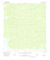
Editions of this 1952 Nulato A-3 Map
3 editions found
Other maps of this area

1945 · Nulato
USGS Topo · 1:250,000

1951 · Ophir
USGS Topo · 1:250,000

1951 · Nulato
USGS Topo · 1:250,000

1952 · Nulato B-2
USGS Topo · 1:63,360

1952 · Nulato A-2
USGS Topo · 1:63,360

1952 · Nulato A-4
USGS Topo · 1:63,360

1952 · Nulato B-3
USGS Topo · 1:63,360

1952 · Nulato B-4
USGS Topo · 1:63,360

1952 · Nulato
USGS Topo · 1:250,000
1953 · Nulato A-4
USGS Topo · 1:63,360