
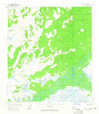
1954 Map of Ophir C-2
USGS Topo · Published 1965About this map
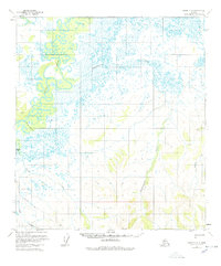
The Innoko River winds through this interior landscape, creating a complex network of oxbows and meanders that characterize the western portion of the region. This 1954 photogrammetric survey reveals an environment dominated by water and low-lying wetlands, where drainage systems like Doctor Beaver Creek and Finland Creek feed into the broader river valley. The presence of a Tractor Trail in the southwest suggests a historical route for seasonal transit across the Kateel River Meridian, providing a rare mark of human infrastructure in an area otherwise defined by its natural drainage. High ground is visible in the southeast, where Scandinavian Creek and Fourmile Creek originate in the upland slopes before descending toward the marshy lowlands near Round Lake.
Find a feature on this map
8 named features on this map. Tap any name to fly to it.
Don’t see what you’re looking for? This feature index may not catch every label — zoom into the map to look around manually.
Map Details
Editions of this 1954 Ophir C-2 Map
3 editions found
Other maps of this area

1951 · Ophir
USGS Topo · 1:250,000
1954 · Ophir D-1
USGS Topo · 1:63,360

1954 · Ophir C-3
USGS Topo · 1:63,360

1954 · Ophir C-1
USGS Topo · 1:63,360
1954 · Ophir D-3
USGS Topo · 1:63,360

1954 · Ophir B-1
USGS Topo · 1:63,360

1954 · Ophir B-2
USGS Topo · 1:63,360

1954 · Ophir B-3
USGS Topo · 1:63,360
1954 · Ophir D-2
USGS Topo · 1:63,360

1954 · Ophir
USGS Topo · 1:250,000