
1954 Map of Ophir B-3
USGS Topo · Published 1965About this map
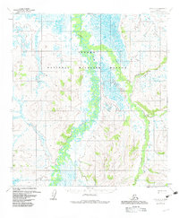
The Dishna River meanders through a vast network of wetlands and oxbow lakes in this mid-century survey of the interior. The landscape is defined by its complex drainage systems, where the river's tightly coiled loops suggest a low-gradient floodplain dominated by seasonal shifts. To the east, the terrain rises toward the Tolstoi Basin, a notable geographical feature flanked by several small watercourses. Among these is the curiously named Boob Creek and the minerally suggestive Mastodon Creek, both of which drain the higher ground of the Tolstoi uplands.
Find a feature on this map
12 named features on this map. Tap any name to fly to it.
Don’t see what you’re looking for? This feature index may not catch every label — zoom into the map to look around manually.
Map Details
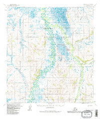
Editions of this 1954 Ophir B-3 Map
3 editions found
Other maps of this area

1951 · Ophir
USGS Topo · 1:250,000

1954 · Ophir A-2
USGS Topo · 1:63,360

1954 · Ophir C-3
USGS Topo · 1:63,360

1954 · Ophir A-3
USGS Topo · 1:63,360

1954 · Ophir A-4
USGS Topo · 1:63,360

1954 · Ophir B-4
USGS Topo · 1:63,360

1954 · Ophir C-2
USGS Topo · 1:63,360

1954 · Ophir B-2
USGS Topo · 1:63,360

1954 · Ophir C-4
USGS Topo · 1:63,360

1954 · Ophir
USGS Topo · 1:250,000