
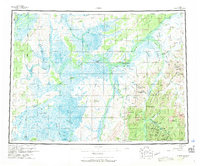
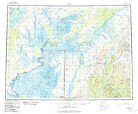
1954 Map of Ophir
USGS Topo · Published 1965About this map
Ophir serves as the primary hub in this interior Alaska landscape, situated where the Ganes Creek drainage meets the foothills of the Cripple Cr Mts. The 1954 survey captures a region defined by its reliance on river transport and seasonal paths, featuring several riverside settlements marked as abandoned, including Dishkakat, Tolstoi, and Rennies Landing. These sites reflect the shifting patterns of settlement along the Innoko River and Dishna River as the mid-century economy evolved.
Find a feature on this map
67 named features on this map. Tap any name to fly to it.
Don’t see what you’re looking for? This feature index may not catch every label — zoom into the map to look around manually.
Map Details
Editions of this 1954 Ophir Map
3 editions found
Other maps of this area

1945 · Nulato
USGS Topo · 1:250,000

1948 · Norton Bay
USGS Topo · 1:250,000

1949 · McGrath
USGS Topo · 1:250,000

1950 · Medfra
USGS Topo · 1:250,000

1950 · McGrath
USGS Topo · 1:250,000

1951 · Ophir
USGS Topo · 1:250,000

1951 · Nulato
USGS Topo · 1:250,000

1951 · Unalakleet
USGS Topo · 1:250,000

1951 · Ruby
USGS Topo · 1:250,000

1951 · Norton Bay
USGS Topo · 1:250,000