
1954 Map of Ophir C-4
USGS Topo · Published 1965About this map
The Innoko River dominates this interior Alaskan landscape, winding in a complex series of oxbows and meanders through a vast expanse of wetlands. This 1954 survey, compiled from aerial photography, reveals the intricate hydrological network of the Yukon-Koyukuk region, where the Mud River joins the Innoko amidst a landscape dotted with unnamed lakes and ponds. Evidence of human presence is minimal, marked only by isolated Cabins located along the riverbanks, suggesting seasonal use for trapping or transit in an era before modern infrastructure reached this remote territory. To the east, the terrain rises into the Wapoo Hills, providing a stark contrast to the low-lying basin drained by Hammer Creek. This map captures the area at a time when land lines were largely unsurveyed and unmarked, as noted by the Bureau of Land Management.
Find a feature on this map
5 named features on this map. Tap any name to fly to it.
Don’t see what you’re looking for? This feature index may not catch every label — zoom into the map to look around manually.
Map Details
Editions of this 1954 Ophir C-4 Map
2 editions found
Other maps of this area

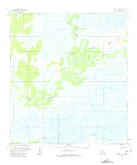
1951 · Ophir
USGS Topo · 1:250,000
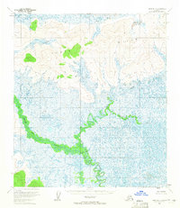
1954 · Ophir D-4
USGS Topo · 1:63,360
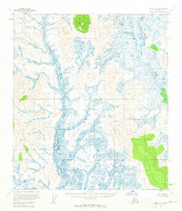
1954 · Ophir D-5
USGS Topo · 1:63,360

1954 · Ophir C-5
USGS Topo · 1:63,360

1954 · Ophir C-3
USGS Topo · 1:63,360

1954 · Ophir B-4
USGS Topo · 1:63,360
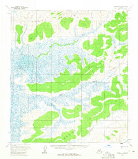
1954 · Ophir D-3
USGS Topo · 1:63,360

1954 · Ophir B-3
USGS Topo · 1:63,360

1954 · Ophir B-5
USGS Topo · 1:63,360

1954 · Ophir
USGS Topo · 1:250,000