
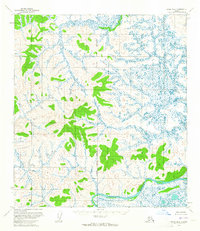
1954 Map of Ophir C-5
USGS Topo · Published 1965About this map
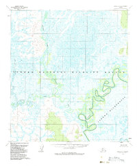
Innoko River meanders through this interior Alaska landscape, defining a complex network of oxbow lakes and wetlands within the Yukon-Koyukuk region. In this mid-century survey, the hydrologic pattern is the dominant feature, as the river and its tributaries like Magitchlie Creek and Hatther Creek weave across low-lying terrain. The lack of established roads or structures on the 1954 topographic sheet reflects the area's isolation during this period, with the landscape shaped entirely by seasonal water cycles and drainage. Hammer Creek appears in the lower corner, completing a picture of a wilderness defined by its waterways. This mapping, derived from 1953 aerial photography, captures the precise state of the riverbanks and swamp margins before any modern development or significant navigational changes occurred in the Innoko basin.
Find a feature on this map
4 named features on this map. Tap any name to fly to it.
Don’t see what you’re looking for? This feature index may not catch every label — zoom into the map to look around manually.
Map Details
Editions of this 1954 Ophir C-5 Map
2 editions found
Other maps of this area

1951 · Ophir
USGS Topo · 1:250,000
1954 · Ophir D-6
USGS Topo · 1:63,360

1954 · Ophir C-6
USGS Topo · 1:63,360
1954 · Ophir D-4
USGS Topo · 1:63,360
1954 · Ophir D-5
USGS Topo · 1:63,360

1954 · Ophir B-4
USGS Topo · 1:63,360
1954 · Ophir B-6
USGS Topo · 1:63,360

1954 · Ophir B-5
USGS Topo · 1:63,360

1954 · Ophir C-4
USGS Topo · 1:63,360

1954 · Ophir
USGS Topo · 1:250,000