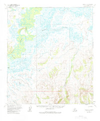
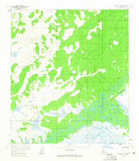
1954 Map of Ophir C-2
USGS Topo · Published 1984About this map
The Innoko River winds through this interior landscape, exhibiting a complex network of meanders and oxbow lakes that dominate the western portion of the region. This 1954 survey captures the wilderness character of the Yukon-Koyukuk area during the mid-20th century, a time when overland travel was limited to primitive routes. A solitary Tractor Trail cuts across the southwestern terrain, providing a rare trace of human transit through the drainage basins of Finland Creek and Taft Creek. To the north and east, the map details a saturated landscape of marshes and small ponds fed by Scandinavian Creek and Doctor Beaver Creek. The topography transitions from these low-lying wetlands toward the more defined elevations near Fourmile Creek, illustrating the remote and water-bound geography of the Alaska interior.
Find a feature on this map
8 named features on this map. Tap any name to fly to it.
Don’t see what you’re looking for? This feature index may not catch every label — zoom into the map to look around manually.
Map Details
Editions of this 1954 Ophir C-2 Map
3 editions found
Other maps of this area

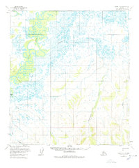
1951 · Ophir
USGS Topo · 1:250,000
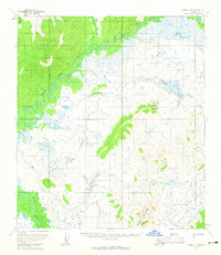
1954 · Ophir D-1
USGS Topo · 1:63,360

1954 · Ophir C-3
USGS Topo · 1:63,360

1954 · Ophir C-1
USGS Topo · 1:63,360
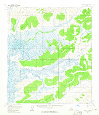
1954 · Ophir D-3
USGS Topo · 1:63,360

1954 · Ophir C-2
USGS Topo · 1:63,360

1954 · Ophir B-1
USGS Topo · 1:63,360

1954 · Ophir B-2
USGS Topo · 1:63,360

1954 · Ophir B-3
USGS Topo · 1:63,360
1954 · Ophir D-2
USGS Topo · 1:63,360