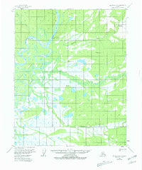
1954 Map of Melozitna D-3
USGS Topo · Published 1981About this map
The Koyukuk River dominates this mid-century Alaskan landscape, its winding course defining a complex network of waterways including Mathews Slough and the sprawling Huggins Island. Human presence in this subarctic region is marked by small, strategic outposts such as the Fishing Camp (12 Mile) and the Rock Island Point Cabins. The map captures a moment when traditional land use and seasonal habitation remained central to the area's geography, evidenced by a solitary Cem (cemetery) and scattered cabins along the riverbanks.
Find a feature on this map
15 named features on this map. Tap any name to fly to it.
Don’t see what you’re looking for? This feature index may not catch every label — zoom into the map to look around manually.
Map Details
Editions of this 1954 Melozitna D-3 Map
2 editions found
Other maps of this area

1951 · Hughes
USGS Topo · 1:250,000

1951 · Melozitna
USGS Topo · 1:250,000

1952 · Melozitna D-3
USGS Topo · 1:63,360

1954 · Melozitna C-4
USGS Topo · 1:63,360

1954 · Melozitna D-4
USGS Topo · 1:63,360

1954 · Melozitna C-3
USGS Topo · 1:63,360

1954 · Melozitna D-3
USGS Topo · 1:63,360

1955 · Melozitna D-2
USGS Topo · 1:63,360

1955 · Hughes A-2
USGS Topo · 1:63,360

1955 · Hughes A-3
USGS Topo · 1:63,360