
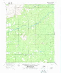
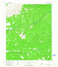
1955 Map of Melozitna D-2
USGS Topo · Published 1958About this map
The Indian Mountains dominate the northwestern corner of this mid-century Alaskan landscape, giving way to a complex drainage system defined by the meandering Indian River and its tributaries. This interior region shows signs of mid-century activity at Utopia, where a small settlement is supported by a nearby Airstrip situated along Utopia Creek. The presence of a Placer Mine in the northern reaches suggests the small-scale mineral extraction common to the territory's remote watersheds during this era. Low-lying wetlands and complex river bends characterize the central valley, while distinctive summits like Pocahontas and Cone provide navigational landmarks above the timberline. Further south, the Little Indian River and Big Creek cut through the lower elevations, illustrating the remote and largely undeveloped nature of the Fourth Judicial Division before later infrastructure expanded.
Find a feature on this map
10 named features on this map. Tap any name to fly to it.
Don’t see what you’re looking for? This feature index may not catch every label — zoom into the map to look around manually.
Map Details
Editions of this 1955 Melozitna D-2 Map
3 editions found
Other maps of this area

1951 · Hughes
USGS Topo · 1:250,000

1951 · Melozitna
USGS Topo · 1:250,000

1952 · Melozitna D-1
USGS Topo · 1:63,360

1952 · Melozitna D-3
USGS Topo · 1:63,360

1954 · Melozitna C-3
USGS Topo · 1:63,360

1954 · Melozitna D-3
USGS Topo · 1:63,360

1955 · Hughes A-2
USGS Topo · 1:63,360

1955 · Hughes A-1
USGS Topo · 1:63,360

1955 · Hughes A-3
USGS Topo · 1:63,360

1956 · Hughes
USGS Topo · 1:250,000