
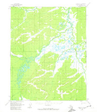
1955 Map of Hughes A-1
USGS Topo · Published 1958About this map
The Sushgitit Hills dominate the southern landscape of this interior Alaska territory, where 1950s aerial photogrammetry captured a complex network of waterways and glacial landforms. The Mentanontli River flows through the northeast, fed by drainage systems including Hogedazzitna Creek and Notoniono Creek. In the lower elevations, the map records a Pingo, a distinctive permafrost feature characteristic of the region's arctic geology. Settlement is nearly non-existent in this quadrangle, save for the VABM 1987 Shelter, reflecting the isolation of the Yukon-Koyukuk region during the mid-century. Further water features include Githgidunka Creek and the headwaters of the Indian River, illustrating the natural drainage patterns that defined this territory before modern development.
Find a feature on this map
9 named features on this map. Tap any name to fly to it.
Don’t see what you’re looking for? This feature index may not catch every label — zoom into the map to look around manually.
Map Details
Editions of this 1955 Hughes A-1 Map
3 editions found
Other maps of this area

1951 · Hughes
USGS Topo · 1:250,000

1951 · Melozitna
USGS Topo · 1:250,000

1951 · Bettles
USGS Topo · 1:250,000

1951 · Tanana
USGS Topo · 1:250,000

1952 · Melozitna D-1
USGS Topo · 1:63,360

1955 · Melozitna D-2
USGS Topo · 1:63,360

1955 · Hughes A-2
USGS Topo · 1:63,360

1956 · Hughes
USGS Topo · 1:250,000

1956 · Bettles
USGS Topo · 1:250,000

1956 · Tanana D-6
USGS Topo · 1:63,360