
1952 Map of Melozitna D-1
USGS Topo · Published 1958About this map
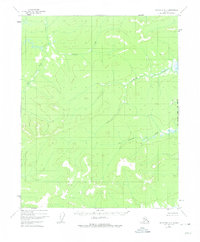
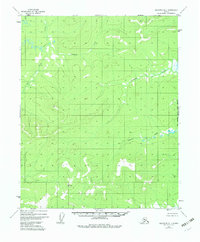
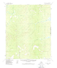
Indian River flows through the northwest corner of this Interior Alaska landscape, a region defined by high ridges and a network of named drainages that feed into larger river systems. The map depicts a wilderness area without established roads or trails during the early 1950s, relying instead on prominent topographical benchmarks for navigation and surveying. Notable high points include VABM 1840 Trail and VABM 1941 Hogleg, which served as critical geodetic control points during the mid-century mapping of the Alaska-Fourth Judicial Division. The drainage patterns are clearly delineated, showing the paths of Big Creek, Calamity Creek, Sithondit Creek, and Tobatokh Creek as they carve through the 100-foot contour intervals of the surrounding uplands.
Find a feature on this map
7 named features on this map. Tap any name to fly to it.
Don’t see what you’re looking for? This feature index may not catch every label — zoom into the map to look around manually.
Map Details
Editions of this 1952 Melozitna D-1 Map
4 editions found
Other maps of this area

1951 · Hughes
USGS Topo · 1:250,000

1951 · Melozitna
USGS Topo · 1:250,000

1951 · Bettles
USGS Topo · 1:250,000

1951 · Tanana
USGS Topo · 1:250,000

1955 · Melozitna D-2
USGS Topo · 1:63,360

1955 · Hughes A-2
USGS Topo · 1:63,360

1955 · Hughes A-1
USGS Topo · 1:63,360

1956 · Hughes
USGS Topo · 1:250,000

1956 · Bettles
USGS Topo · 1:250,000

1956 · Melozitna C-1
USGS Topo · 1:63,360