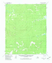
1952 Map of Melozitna D-1
USGS Topo · Published 1983About this map
The Indian River winds through this unpopulated interior landscape in the early 1950s, defining a region dominated by a complex network of drainage systems and isolated peaks. This terrain is characterized by winding watercourses like Sithdonit Creek and Tobatokh Creek, which cut through the interior between the Kateel River and Melozitna drainage basins. Survey markers such as VABM 1840 Trail and VABM 1941 Hogley represent the primary human landmarks in a territory otherwise devoid of roads, settlements, or established trails. The map serves as a record of the East Boundary Kateel River Meridian, illustrating the systematic effort to survey the Alaskan wilderness by the Bureau of Land Management. The small label Calamity near the center of the sheet hints at the naming conventions of early surveyors or travelers in this demanding environment.
Find a feature on this map
8 named features on this map. Tap any name to fly to it.
Don’t see what you’re looking for? This feature index may not catch every label — zoom into the map to look around manually.
Map Details
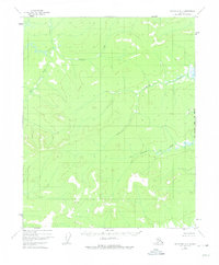
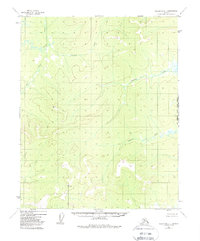
Editions of this 1952 Melozitna D-1 Map
4 editions found
Other maps of this area

1951 · Hughes
USGS Topo · 1:250,000

1951 · Melozitna
USGS Topo · 1:250,000

1951 · Bettles
USGS Topo · 1:250,000

1951 · Tanana
USGS Topo · 1:250,000

1952 · Melozitna D-1
USGS Topo · 1:63,360

1955 · Melozitna D-2
USGS Topo · 1:63,360

1955 · Hughes A-2
USGS Topo · 1:63,360

1955 · Hughes A-1
USGS Topo · 1:63,360

1956 · Hughes
USGS Topo · 1:250,000

1956 · Bettles
USGS Topo · 1:250,000