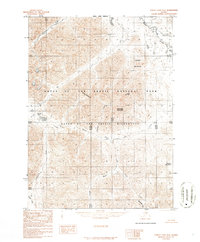
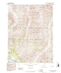
1986 Map of Survey Pass D-2
USGS Topo · Published 1986About this map
The Continental Divide bisects this northern Alaskan landscape, separating the headwaters of the Unakserak River and Kutuk Creek from the northward-flowing Easter Creek. This 1986 provisional survey captures the high-latitude terrain of the Gates of the Arctic National Park and the protected Gates of the Arctic Wilderness before any road infrastructure was established in the region. The map documents a primitive network of drainages, including July Creek, Coalit Creek, and Dalimaloak Creek, which carve through prominent heights such as Kaviktit Mountain, Shivering Mountain, and Plateau Mountain. The inclusion of Kutuk Pass highlights a critical natural corridor through the central Brooks Range, while the North Slope Borough boundary line provides a rare administrative marker in this otherwise unsettled wilderness.
Find a feature on this map
16 named features on this map. Tap any name to fly to it.
Don’t see what you’re looking for? This feature index may not catch every label — zoom into the map to look around manually.
Map Details
Editions of this 1986 Survey Pass D-2 Map
This is the sole edition of this map. No revisions or reprints were ever made.
Other maps of this area

1951 · Survey Pass
USGS Topo · 1:250,000

1951 · Killik River
USGS Topo · 1:250,000

1956 · Survey Pass
USGS Topo · 1:250,000

1956 · Killik River
USGS Topo · 1:250,000

1964 · Survey Pass
USGS Topo · 1:250,000

1966 · Survey Pass
USGS Topo · 1:250,000
1986 · Killik River A-2
USGS Topo · 1:63,360
1986 · Killik River A-1
USGS Topo · 1:63,360
1986 · Survey Pass D-1
USGS Topo · 1:63,360
1986 · Survey Pass C-2
USGS Topo · 1:63,360