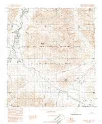
1986 Map of Killik River A-2
USGS Topo · Published 1986About this map
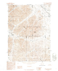
Gates of the Arctic National Park and the adjacent Gates of the Arctic Wilderness dominate this Arctic landscape, where the braided channels of the Killik River serve as the primary topographic artery. The map, based on 1973 photography, documents a terrain of high peaks and lake basins within the North Slope Borough during the mid-1980s. Prominent elevations such as Mayukuit Mountain and Egiklak Mountain rise above an intricate drainage system including Easter Creek and Suluak Creek. This survey reveals the land in its most natural state, noting the absence of roads or trails while identifying permanent water bodies like Lake Kaniksrak and Lake Tulilik. The complex network of tributaries such as Aniakuk Creek and Togoyuk Creek highlights the glacial and alluvial forces that have shaped this remote part of the Brooks Range.
Find a feature on this map
20 named features on this map. Tap any name to fly to it.
Don’t see what you’re looking for? This feature index may not catch every label — zoom into the map to look around manually.
Map Details
Editions of this 1986 Killik River A-2 Map
This is the sole edition of this map. No revisions or reprints were ever made.
Other maps of this area

1951 · Survey Pass
USGS Topo · 1:250,000

1951 · Killik River
USGS Topo · 1:250,000

1956 · Survey Pass
USGS Topo · 1:250,000

1956 · Killik River
USGS Topo · 1:250,000

1964 · Survey Pass
USGS Topo · 1:250,000

1966 · Survey Pass
USGS Topo · 1:250,000
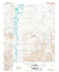
1986 · Killik River B-2
USGS Topo · 1:63,360
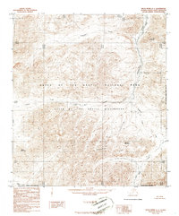
1986 · Killik River A-1
USGS Topo · 1:63,360
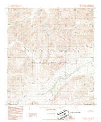
1986 · Killik River A-3
USGS Topo · 1:63,360
1986 · Survey Pass D-2
USGS Topo · 1:63,360