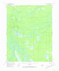
1956 Map of Fort Yukon B-1
USGS Topo · Published 1973About this map
Grass River winds through this interior Alaskan terrain, defining a landscape dominated by complex waterways and wetlands. Surveyed in the mid-1950s, the area shows the intricate drainage patterns of the Sucker River and an extensive network of unnamed lakes and marshes. A single Tractor Trail cuts across the southeast, providing a rare mark of overland passage through this saturated environment. The mapping reveals the isolation of the Yukon-Koyukuk region before significant modern development, where transportation relied heavily on these seasonal trails and the winding river corridors that dictate the movement of people and resources in the bush.
Find a feature on this map
3 named features on this map. Tap any name to fly to it.
Don’t see what you’re looking for? This feature index may not catch every label — zoom into the map to look around manually.
Map Details
Editions of this 1956 Fort Yukon B-1 Map
2 editions found
Other maps of this area

1951 · Fort Yukon
USGS Topo · 1:250,000

1951 · Black River
USGS Topo · 1:250,000

1952 · Fort Yukon C-2
USGS Topo · 1:63,360

1956 · Fort Yukon C-1
USGS Topo · 1:63,360

1956 · Black River B-6
USGS Topo · 1:63,360

1956 · Fort Yukon A-2
USGS Topo · 1:63,360

1956 · Black River C-6
USGS Topo · 1:63,360

1956 · Fort Yukon B-1
USGS Topo · 1:63,360

1956 · Fort Yukon A-1
USGS Topo · 1:63,360

1956 · Fort Yukon B-2
USGS Topo · 1:63,360