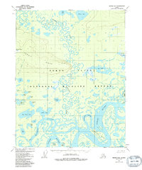
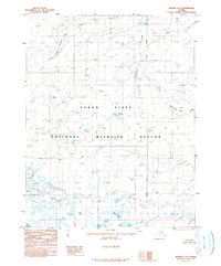
1956 Map of Beaver B-2
USGS Topo · Published 1992About this map
The Yukon River dominates this mid-century landscape as it winds through the Yukon Flats, a region defined by an intricate network of sloughs and islands. Large landmasses such as Oscar Island and Whirlpool Island are separated by secondary channels like Victor Slough and Joe Guay Slough, illustrating the dynamic nature of the river system before modern hydrological changes. To the north, the terrain rises toward Hermit Ridge, providing a stark contrast to the low-lying wetlands that comprise much of the National Wildlife Refuge. Isolated landmarks such as the John Barleycorn Lakes and George Meadow dot the interior, while the confluence of the Hodzana River further complicates the waterborne geography. This 1956 survey provides a record of the region's wilderness state, where only occasional cabins indicate a human presence in the vast interior.
Find a feature on this map
40 named features on this map. Tap any name to fly to it.
Don’t see what you’re looking for? This feature index may not catch every label — zoom into the map to look around manually.
Map Details
Editions of this 1956 Beaver B-2 Map
3 editions found
Other maps of this area

1951 · Beaver
USGS Topo · 1:250,000

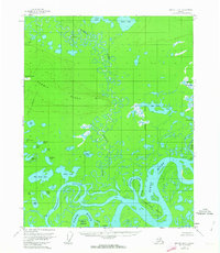
1956 · Beaver B-2
USGS Topo · 1:63,360

1956 · Beaver B-3
USGS Topo · 1:63,360

1956 · Beaver A-3
USGS Topo · 1:63,360
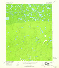
1956 · Beaver A-1
USGS Topo · 1:63,360
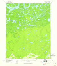
1956 · Beaver A-2
USGS Topo · 1:63,360

1956 · Beaver
USGS Topo · 1:250,000

1956 · Beaver B-1
USGS Topo · 1:63,360

1964 · Beaver
USGS Topo · 1:250,000
1990 · Beaver C-2
USGS Topo · 1:63,360