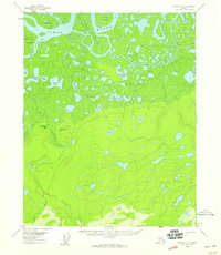
1956 Map of Beaver A-2
USGS Topo · Published 1959About this map
The Yukon River dominates the northern landscape of this 1950s survey, carving a complex network of side channels and islands. Massive landforms like Victor Island and Marten Island are defined by the surrounding Hodzana Slough, Marten Slough, and Oscar Island Slough. This fluvial environment gives way to an expansive wetland interior, where hundreds of named and unnamed bodies of water, such as Tincan Lake, Horseshoe Lake, and Twin Lakes, dot the lowlands between Nolitna Creek and Beaver Creek.
Find a feature on this map
32 named features on this map. Tap any name to fly to it.
Don’t see what you’re looking for? This feature index may not catch every label — zoom into the map to look around manually.
Map Details
Editions of this 1956 Beaver A-2 Map
3 editions found
Other maps of this area

1945 · Livengood
USGS Topo · 1:250,000

1951 · Livengood
USGS Topo · 1:250,000

1951 · Beaver
USGS Topo · 1:250,000

1951 · Livengood D-3
USGS Topo · 1:63,360

1952 · Livengood D-2
USGS Topo · 1:63,360

1952 · Livengood D-1
USGS Topo · 1:63,360
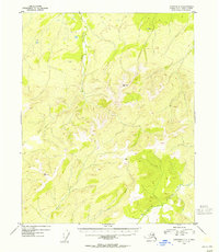
1954 · Livengood D-2
USGS Topo · 1:63,360
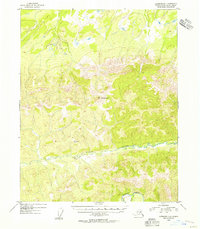
1954 · Livengood D-1
USGS Topo · 1:63,360
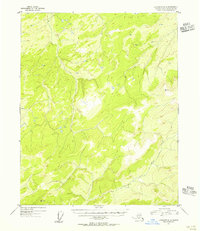
1954 · Livengood D-3
USGS Topo · 1:63,360

1956 · Beaver B-2
USGS Topo · 1:63,360