
1956 Map of Beaver B-2
USGS Topo · Published 1959About this map
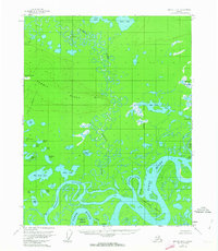
The intricate waterways of the Yukon Flats dominate this mid-century survey, where the Yukon River and the meandering Hodzana River create a complex network of sloughs and islands. Large landmasses like Oscar Island and Whirlpool Island are carved out by the shifting currents of the Victor Slough and Hodzana Slough. Rising above the water-logged lowlands, the prominent Hermit Ridge provides a distinct topographical contrast to the surrounding marshy expanse. This landscape is dotted with numerous small lakes and ponds, including the playfully named John Barleycorn Lakes and the secluded Hiding Lake. The inclusion of several Cabin labels and family-named features like Joe Guay Slough or George Meadow suggests the historical presence of seasonal hunters and trappers who navigated this labyrinth of water before modern development.
Find a feature on this map
38 named features on this map. Tap any name to fly to it.
Don’t see what you’re looking for? This feature index may not catch every label — zoom into the map to look around manually.
Map Details
Editions of this 1956 Beaver B-2 Map
3 editions found
Other maps of this area

1951 · Beaver
USGS Topo · 1:250,000

1956 · Beaver B-3
USGS Topo · 1:63,360

1956 · Beaver A-3
USGS Topo · 1:63,360
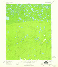
1956 · Beaver A-1
USGS Topo · 1:63,360
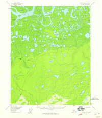
1956 · Beaver A-2
USGS Topo · 1:63,360

1956 · Beaver
USGS Topo · 1:250,000

1956 · Beaver B-1
USGS Topo · 1:63,360

1964 · Beaver
USGS Topo · 1:250,000
1990 · Beaver C-2
USGS Topo · 1:63,360
1990 · Beaver C-1
USGS Topo · 1:63,360