
1956 Map of Beaver B-1
USGS Topo · Published 1959About this map
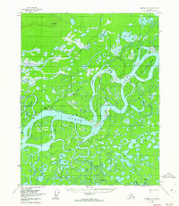
The Yukon River dominates this mid-century Alaskan landscape, winding through a complex network of wetlands and side channels. At the heart of the region sits the settlement of Beaver, positioned near the confluence of Joe Guay Slough and the main river channel. The map illustrates a landscape defined by seasonal movement and water, featuring a Winter Trail that cuts across the marshes and a dedicated Airstrip serving the isolated community. Named landmarks such as Joe Devlin Island and George Meadow suggest a history of local navigation and subsistence use within the Yukon-Koyukuk region. Beyond the river, the interior is a maze of lakes and streams, including Mud Lakes and Beaver Creek, reflecting the intricate drainage patterns of the northern wilderness before modern infrastructure arrived.
Find a feature on this map
28 named features on this map. Tap any name to fly to it.
Don’t see what you’re looking for? This feature index may not catch every label — zoom into the map to look around manually.
Map Details
Editions of this 1956 Beaver B-1 Map
3 editions found
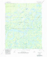
Other maps of this area

1951 · Fort Yukon
USGS Topo · 1:250,000

1951 · Beaver
USGS Topo · 1:250,000

1956 · Fort Yukon B-6
USGS Topo · 1:63,360

1956 · Beaver B-2
USGS Topo · 1:63,360
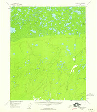
1956 · Beaver A-1
USGS Topo · 1:63,360
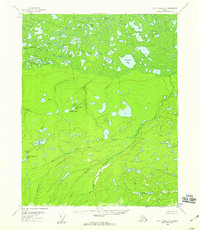
1956 · Fort Yukon A-6
USGS Topo · 1:63,360
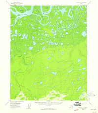
1956 · Beaver A-2
USGS Topo · 1:63,360

1956 · Beaver
USGS Topo · 1:250,000

1956 · Fort Yukon
USGS Topo · 1:250,000
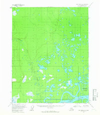
1956 · Fort Yukon C-6
USGS Topo · 1:63,360