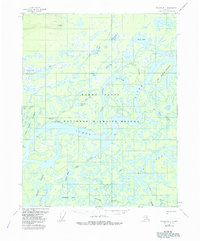
1956 Map of Beaver B-1
USGS Topo · Published 1985About this map
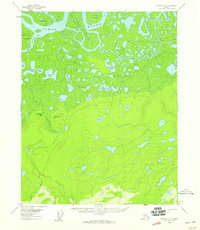
Beaver sits along the northern bank of the Yukon River, serving as a remote outpost within the extensive Yukon Flats during the mid-1950s. This survey illustrates the intricate aqueous landscape of the National Wildlife Refuge, where the river splits around large landmasses like Joe Guay Island and Joe Devlin Island. The network of sloughs, including Jack Uheen Slough and Tony Slough, demonstrates the volatile nature of the river's path, creating numerous oxbows and named water bodies like Annie Lake and Argo Bill Lake.
Find a feature on this map
36 named features on this map. Tap any name to fly to it.
Don’t see what you’re looking for? This feature index may not catch every label — zoom into the map to look around manually.
Map Details
Editions of this 1956 Beaver B-1 Map
3 editions found
Other maps of this area

1951 · Fort Yukon
USGS Topo · 1:250,000

1951 · Beaver
USGS Topo · 1:250,000

1956 · Fort Yukon B-6
USGS Topo · 1:63,360

1956 · Beaver B-2
USGS Topo · 1:63,360
1956 · Beaver A-1
USGS Topo · 1:63,360
1956 · Fort Yukon A-6
USGS Topo · 1:63,360
1956 · Beaver A-2
USGS Topo · 1:63,360

1956 · Beaver
USGS Topo · 1:250,000

1956 · Beaver B-1
USGS Topo · 1:63,360

1956 · Fort Yukon
USGS Topo · 1:250,000