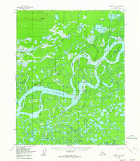
1956 Map of Beaver B-1
USGS Topo · Published 1962About this map
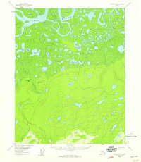
The Yukon River carves a massive, shifting path through this interior Alaska landscape, defining a complex network of active and relic waterways. This mid-century survey captures a wilderness dominated by the river's hydrology, where features like Joe Devlin Island and Jack Slough illustrate the constant movement of the channel. Human presence is minimal and practical, concentrated at the Landing Strip Beaver and several isolated cabins along the banks. A solitary Winter Trail provides a seasonal overland connection between the numerous lakes, including Twelvemile Lake and George Lake. The map reveals a mosaic of drainage patterns, from the slow-moving Mud Lakes to the winding course of Beaver Creek, documenting the terrain as it existed before contemporary environmental shifts and infrastructure developments.
Find a feature on this map
30 named features on this map. Tap any name to fly to it.
Don’t see what you’re looking for? This feature index may not catch every label — zoom into the map to look around manually.
Map Details
Editions of this 1956 Beaver B-1 Map
3 editions found
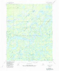
Other maps of this area

1951 · Fort Yukon
USGS Topo · 1:250,000

1951 · Beaver
USGS Topo · 1:250,000

1956 · Fort Yukon B-6
USGS Topo · 1:63,360

1956 · Beaver B-2
USGS Topo · 1:63,360
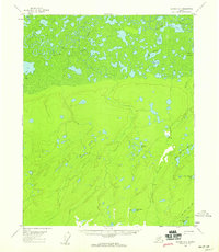
1956 · Beaver A-1
USGS Topo · 1:63,360
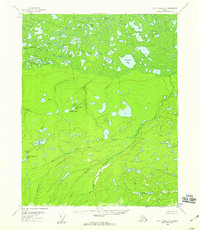
1956 · Fort Yukon A-6
USGS Topo · 1:63,360
1956 · Beaver A-2
USGS Topo · 1:63,360

1956 · Beaver
USGS Topo · 1:250,000

1956 · Beaver B-1
USGS Topo · 1:63,360

1956 · Fort Yukon
USGS Topo · 1:250,000