
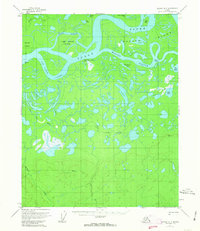
1956 Map of Beaver A-3
USGS Topo · Published 1959About this map
The Yukon River dominates this mid-1950s interior landscape, characterized by a complex network of branching waterways and seasonal wetlands. The presence of Kings Slough Village (Abandoned) on the northern bank of the river suggests the ephemeral nature of settlements in this region, where shifting river channels and seasonal cycles dictated human habitation. Large islands like Moose Island and Kings Slough Island are carved out by the Jim Karse Slough and Kings Slough, creating a labyrinthine riparian environment.
Find a feature on this map
26 named features on this map. Tap any name to fly to it.
Don’t see what you’re looking for? This feature index may not catch every label — zoom into the map to look around manually.
Map Details
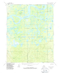
Editions of this 1956 Beaver A-3 Map
3 editions found
Other maps of this area

1945 · Livengood
USGS Topo · 1:250,000

1951 · Livengood
USGS Topo · 1:250,000

1951 · Beaver
USGS Topo · 1:250,000

1951 · Livengood D-3
USGS Topo · 1:63,360

1952 · Livengood D-2
USGS Topo · 1:63,360

1953 · Livengood D-4
USGS Topo · 1:63,360

1954 · Livengood D-4
USGS Topo · 1:63,360
1954 · Livengood D-2
USGS Topo · 1:63,360
1954 · Livengood D-3
USGS Topo · 1:63,360

1956 · Beaver B-2
USGS Topo · 1:63,360