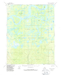
1956 Map of Beaver A-3
USGS Topo · Published 1985About this map
The Yukon River carves a complex network of braided channels and seasonal waterways across this portion of the Yukon Flats, a region defined by its shifting aquatic landscape. In the mid-1950s, human presence was concentrated along these water routes, most notably at Kings Slough Village and various isolated cabins. The map records the vital importance of traditional transit corridors, such as the Indian Portage and several Winter Trails, which provided essential movement through the wetland during the frozen months.
Find a feature on this map
28 named features on this map. Tap any name to fly to it.
Don’t see what you’re looking for? This feature index may not catch every label — zoom into the map to look around manually.
Map Details
Editions of this 1956 Beaver A-3 Map
3 editions found

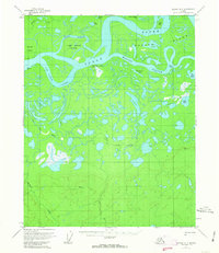
Other maps of this area

1945 · Livengood
USGS Topo · 1:250,000

1951 · Livengood
USGS Topo · 1:250,000

1951 · Beaver
USGS Topo · 1:250,000

1951 · Livengood D-3
USGS Topo · 1:63,360

1952 · Livengood D-2
USGS Topo · 1:63,360

1953 · Livengood D-4
USGS Topo · 1:63,360

1954 · Livengood D-4
USGS Topo · 1:63,360
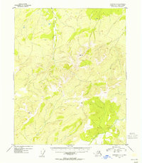
1954 · Livengood D-2
USGS Topo · 1:63,360
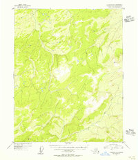
1954 · Livengood D-3
USGS Topo · 1:63,360

1956 · Beaver B-2
USGS Topo · 1:63,360