
1953 Map of Livengood D-4
USGS Topo · Published 1967About this map
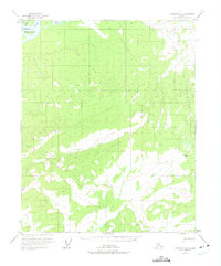
The Yukon River dominates the northwest corner of this Interior Alaska landscape, where Theodore Island sits amidst the heavy flow of the river system. This 1950s survey captures the drainage patterns of the Yukon-Koyukuk region, revealing a network of waterways including Ross Creek and Rogers Creek that carve through the high ground. The terrain is defined by prominent survey points like VABM Rogers and VABM Hamlin, which mark significant elevations overlooking the valley floors.
Find a feature on this map
10 named features on this map. Tap any name to fly to it.
Don’t see what you’re looking for? This feature index may not catch every label — zoom into the map to look around manually.
Map Details
Editions of this 1953 Livengood D-4 Map
2 editions found
Other maps of this area

1945 · Livengood
USGS Topo · 1:250,000

1951 · Livengood
USGS Topo · 1:250,000

1951 · Beaver
USGS Topo · 1:250,000

1951 · Livengood D-3
USGS Topo · 1:63,360

1952 · Livengood C-5
USGS Topo · 1:63,360

1952 · Livengood D-5
USGS Topo · 1:63,360

1952 · Livengood C-4
USGS Topo · 1:63,360

1954 · Livengood D-4
USGS Topo · 1:63,360

1954 · Livengood C-4
USGS Topo · 1:63,360
1954 · Livengood C-3
USGS Topo · 1:63,360