
1952 Map of Livengood D-5
USGS Topo · Published 1959About this map
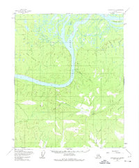
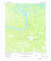
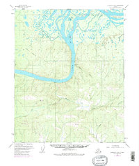
The Yukon River carves a massive path through the center of this subarctic wilderness, serving as the primary geographic anchor for the region during the early 1950s. On its eastern bank, the Fort Hamlin (Site) marks the historical location of a river-bound outpost, situated just downstream from the sprawling Chetlechak Island. The landscape transitions from the braided river channels and low-lying marshes of Theodore Island in the north to the rising elevations of the Fort Hamlin Hills in the west. South of the main river bend, a solitary Cabin is noted near the mouth of Hamlin Creek. The southern portion of the map is defined by a dense network of drainages, including Waldron Creek and Mastodon Creek, which cut through high ridges marked by triangulation stations such as Vabm 2736 Waldron and Vabm 2198 Hess.
Find a feature on this map
15 named features on this map. Tap any name to fly to it.
Don’t see what you’re looking for? This feature index may not catch every label — zoom into the map to look around manually.
Map Details
Editions of this 1952 Livengood D-5 Map
4 editions found
Other maps of this area

1945 · Livengood
USGS Topo · 1:250,000

1951 · Livengood
USGS Topo · 1:250,000

1951 · Beaver
USGS Topo · 1:250,000

1952 · Livengood C-5
USGS Topo · 1:63,360

1952 · Livengood C-4
USGS Topo · 1:63,360

1953 · Livengood D-4
USGS Topo · 1:63,360

1954 · Livengood D-4
USGS Topo · 1:63,360

1954 · Livengood C-4
USGS Topo · 1:63,360

1956 · Beaver A-5
USGS Topo · 1:63,360

1956 · Livengood C-6
USGS Topo · 1:63,360