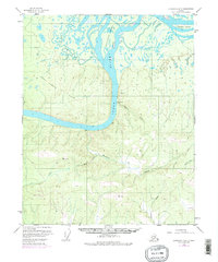
1952 Map of Livengood D-5
USGS Topo · Published 1977About this map
The Yukon River cuts a wide path through this interior landscape, where the historic Fort Hamlin (Site) sits on the southern bank. This location serves as a focal point for the region's transport history, situated just downstream from the confluence where the Dall River and Little Dall River navigate the wetlands surrounding Chetlechak Island. The terrain is defined by the Fort Hamlin Hills, rising sharply from the river valley to reach elevations at several triangulation stations, including VABM 2198 Hess and VABM 2186 Waldron.
Find a feature on this map
17 named features on this map. Tap any name to fly to it.
Don’t see what you’re looking for? This feature index may not catch every label — zoom into the map to look around manually.
Map Details
Editions of this 1952 Livengood D-5 Map
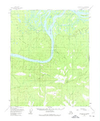
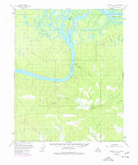
4 editions found
Other maps of this area

1945 · Livengood
USGS Topo · 1:250,000

1951 · Livengood
USGS Topo · 1:250,000

1951 · Beaver
USGS Topo · 1:250,000

1952 · Livengood C-5
USGS Topo · 1:63,360

1952 · Livengood D-5
USGS Topo · 1:63,360

1952 · Livengood C-4
USGS Topo · 1:63,360

1953 · Livengood D-4
USGS Topo · 1:63,360

1954 · Livengood D-4
USGS Topo · 1:63,360

1954 · Livengood C-4
USGS Topo · 1:63,360

1956 · Beaver A-5
USGS Topo · 1:63,360