
1952 Map of Livengood C-5
USGS Topo · Published 1959About this map
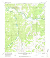
Troublesome Creek winds through the heart of this Alaskan interior landscape, its path defining a complex system of marshes and low-lying drainages. Surveyed in the early 1950s using photogrammetric methods from aerial photography, the map reveals a wilderness without roads or trails, where the drainage patterns of Hess Creek and its tributaries dictate the shape of the land. The presence of named drainages like Mastodon Creek and Richardson Creek suggests the importance of watercourses for navigation or prospecting in this part of the Yukon-Koyukuk region. In the south, the Mud Fork and Huron labels identify specific hydrological points in a terrain dominated by elevation contours and creek beds, providing a foundational record of the geography before any significant modern infrastructure reached this section of the quadrangle.
Find a feature on this map
8 named features on this map. Tap any name to fly to it.
Don’t see what you’re looking for? This feature index may not catch every label — zoom into the map to look around manually.
Map Details
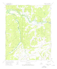
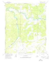
Editions of this 1952 Livengood C-5 Map
4 editions found
Other maps of this area

1945 · Livengood
USGS Topo · 1:250,000

1951 · Livengood
USGS Topo · 1:250,000

1952 · Livengood B-5
USGS Topo · 1:63,360

1952 · Livengood D-5
USGS Topo · 1:63,360

1952 · Livengood C-4
USGS Topo · 1:63,360

1953 · Livengood B-4
USGS Topo · 1:63,360

1953 · Livengood D-4
USGS Topo · 1:63,360

1954 · Livengood D-4
USGS Topo · 1:63,360

1954 · Livengood C-4
USGS Topo · 1:63,360

1956 · Livengood B-6
USGS Topo · 1:63,360