
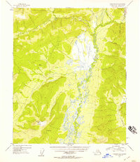
1953 Map of Livengood B-4
USGS Topo · Published 1955About this map
The Tolovana River meanders through this interior Alaska landscape, creating a complex drainage network that includes Vigor Creek and Shorty Creek. Dominating the southern terrain is Hot Springs Dome, which rises above a localized Hot Springs site. This 1950s mapping project captures a transitional period of interior development, evidenced by the presence of the Elliott Hy in the northeastern corner near Livengood Creek. While established infrastructure like the highway appears, the map also documents the ephemeral nature of subarctic industry, noting Mine Tailings and an Airstrip (Aband). A network of Tractor Trail segments provides the primary overland access to isolated Cabin and Cabins locations, reflecting the era's reliance on specialized vehicles for navigating the permafrost and drainage basins of the Alaska-Fourth Judicial Division.
Find a feature on this map
20 named features on this map. Tap any name to fly to it.
Don’t see what you’re looking for? This feature index may not catch every label — zoom into the map to look around manually.
Map Details
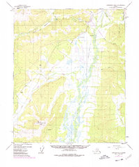
Editions of this 1953 Livengood B-4 Map
3 editions found
Other maps of this area

1945 · Livengood
USGS Topo · 1:250,000

1951 · Livengood
USGS Topo · 1:250,000

1951 · Livengood A-5
USGS Topo · 1:63,360

1951 · Livengood A-4
USGS Topo · 1:63,360

1952 · Livengood C-5
USGS Topo · 1:63,360

1952 · Livengood B-5
USGS Topo · 1:63,360

1952 · Livengood C-4
USGS Topo · 1:63,360

1953 · Livengood A-4
USGS Topo · 1:63,360

1953 · Livengood A-3
USGS Topo · 1:63,360

1954 · Livengood B-3
USGS Topo · 1:63,360