
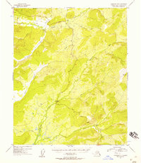
1954 Map of Livengood B-3
USGS Topo · Published 1955About this map
Tolovana River and the Tatalina River define this interior Alaska landscape, captured just as mid-century infrastructure began to traverse the bush. The Elliott Highway snakes through the center of the sheet, providing a vital land link across a terrain of prominent peaks like Amy Dome and Globe. The mapping reveals the area's resource-driven geography, where clusters of Cabins and isolated Cabin structures follow the drainage of gold-bearing waters like Ester Creek and Cleary Creek. Evidence of placer mining is visible through Tailings marked near the headwaters, while numerous named drainages such as Steel Creek, Wilber Creek, and Slate Creek illustrate the fine-grained topographical detail used by prospectors and surveyors in the Fourth Judicial Division.
Find a feature on this map
18 named features on this map. Tap any name to fly to it.
Don’t see what you’re looking for? This feature index may not catch every label — zoom into the map to look around manually.
Map Details
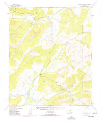
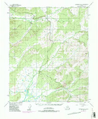
Editions of this 1954 Livengood B-3 Map
4 editions found
Other maps of this area

1945 · Livengood
USGS Topo · 1:250,000

1951 · Livengood
USGS Topo · 1:250,000

1951 · Livengood C-2
USGS Topo · 1:63,360

1951 · Livengood B-2
USGS Topo · 1:63,360

1951 · Livengood A-4
USGS Topo · 1:63,360

1952 · Livengood C-4
USGS Topo · 1:63,360

1952 · Livengood A-2
USGS Topo · 1:63,360

1953 · Livengood B-4
USGS Topo · 1:63,360

1953 · Livengood A-4
USGS Topo · 1:63,360

1953 · Livengood A-3
USGS Topo · 1:63,360