
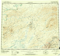
1951 Map of Livengood A-4
USGS Topo · Published 1982About this map
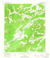
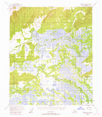
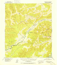
Tolovana River and the meandering Tatalina River dominate this interior Alaskan landscape, defining a region characterized by vast wetland complexes and low-relief drainage basins. Compiled from 1951 aerial photography, the map captures a wilderness before modern development, where human passage is marked primarily by a solitary Winter Trail cutting through the northern sections. High ground is represented by landmarks such as VABM 1304 Myrtle, providing a sharp contrast to the saturated lowlands surrounding Washington Creek and the Chatanika River. This survey serves as a vital record of the Fairbanks North Star Borough boundary area, illustrating the intricate hydrology of the Twin Creek drainage and the shifting patterns of swamps and waterways that dictated travel and survival in the mid-century Yukon-Koyukuk region.
Find a feature on this map
8 named features on this map. Tap any name to fly to it.
Don’t see what you’re looking for? This feature index may not catch every label — zoom into the map to look around manually.
Map Details
Editions of this 1951 Livengood A-4 Map
This is the sole edition of this map. No revisions or reprints were ever made.
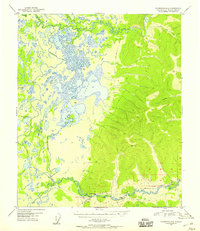
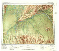
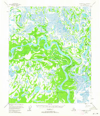
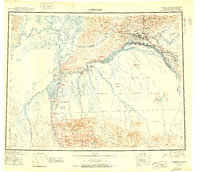
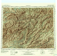
Other maps of this area
1945 · Livengood
USGS Topo · 1:250,000

1949 · Fairbanks D-3
USGS Topo · 1:63,360
1949 · Fairbanks D-4
USGS Topo · 1:63,360
1950 · Fairbanks
USGS Topo · 1:250,000
1950 · Fairbanks D-5
USGS Topo · 1:63,360
1950 · Fairbanks D-3
USGS Topo · 1:63,360
1951 · Fairbanks
USGS Topo · 1:250,000
1951 · Livengood
USGS Topo · 1:250,000
1951 · Livengood A-5
USGS Topo · 1:63,360
1952 · Fairbanks D-3
USGS Topo · 1:63,360