
1951 Map of Livengood A-5
USGS Topo · Published 1965About this map
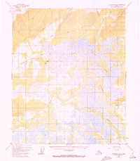
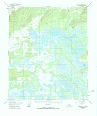
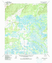
The Tolovana River and Chatanika River dominate this interior Alaska landscape, weaving through an expansive network of wetlands and seasonal swamps. This mid-century survey reveals a wilderness defined by water and elevation, where the low-lying river basins contrast sharply with the rising slopes of the northern hills. Human presence is sparse, marked primarily by a solitary Cabin and primitive transportation routes. These features include a Tractor Trail and an unnamed Trail that skirt the foothills, likely supporting early exploration or subsistence activities in the region. Tributaries such as Uncle Sam Creek and Tatalina River feed into the complex drainage system of the Tanana Valley area, illustrating the natural hydrological patterns of the Alaskan interior before modern development reached this section of the Yukon-Koyukuk region.
Find a feature on this map
9 named features on this map. Tap any name to fly to it.
Don’t see what you’re looking for? This feature index may not catch every label — zoom into the map to look around manually.
Map Details
Editions of this 1951 Livengood A-5 Map
4 editions found
Other maps of this area

1945 · Livengood
USGS Topo · 1:250,000

1949 · Fairbanks D-4
USGS Topo · 1:63,360

1950 · Fairbanks
USGS Topo · 1:250,000

1950 · Fairbanks D-5
USGS Topo · 1:63,360

1951 · Fairbanks
USGS Topo · 1:250,000

1951 · Livengood
USGS Topo · 1:250,000

1951 · Livengood A-4
USGS Topo · 1:63,360

1952 · Fairbanks D-4
USGS Topo · 1:63,360

1952 · Livengood A-6
USGS Topo · 1:63,360

1952 · Fairbanks
USGS Topo · 1:250,000