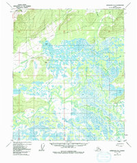
1951 Map of Livengood A-5
USGS Topo · Published 1992About this map
The Tolovana River and its intricate network of tributaries define this Interior Alaska landscape during the early 1950s. The settlement of Minto sits near the river's edge, supported by a landing strip that highlights the critical role of aviation in this road-sparse region. While the Elliott Highway clips the northwestern corner, providing a tenuous link to the outside world, much of the interior relies on a network simply labeled as Trail or Tractor Trail. These routes navigate a complex wetland environment dominated by the Tatalina River and Chatanika River, which meander through a low-lying basin filled with hundreds of unnamed lakes and ponds. Named water bodies like Cooper Lake and Cod Lake serve as primary landmarks for navigation. A solitary Cabin north of the river system suggests the localized presence of hunters, trappers, or early surveyors in this vast territory.
Find a feature on this map
20 named features on this map. Tap any name to fly to it.
Don’t see what you’re looking for? This feature index may not catch every label — zoom into the map to look around manually.
Map Details
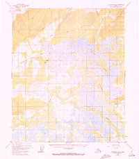
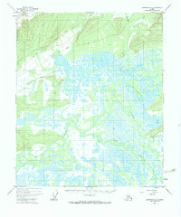
Editions of this 1951 Livengood A-5 Map
4 editions found
Other maps of this area

1945 · Livengood
USGS Topo · 1:250,000

1949 · Fairbanks D-4
USGS Topo · 1:63,360

1950 · Fairbanks
USGS Topo · 1:250,000

1950 · Fairbanks D-5
USGS Topo · 1:63,360

1951 · Fairbanks
USGS Topo · 1:250,000

1951 · Livengood
USGS Topo · 1:250,000

1951 · Livengood A-5
USGS Topo · 1:63,360

1951 · Livengood A-4
USGS Topo · 1:63,360

1952 · Fairbanks D-4
USGS Topo · 1:63,360

1952 · Livengood A-6
USGS Topo · 1:63,360