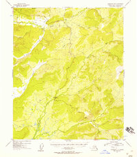
1954 Map of Livengood B-3
USGS Topo · Published 1957About this map
The Elliott Highway snakes through the high country of interior Alaska in this mid-century survey, providing a solitary overland link through a landscape defined by its drainage basins. The map illustrates a region transitioning from raw wilderness to accessible territory, with several cabins and a lone Cabin marking isolated outposts along the riverbanks and ridges. Significant geological and industrial features are evident near Amy Dome, where tailings indicate active or recent mining operations along Ester Creek.
Find a feature on this map
17 named features on this map. Tap any name to fly to it.
Don’t see what you’re looking for? This feature index may not catch every label — zoom into the map to look around manually.
Map Details
Editions of this 1954 Livengood B-3 Map
4 editions found

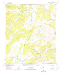
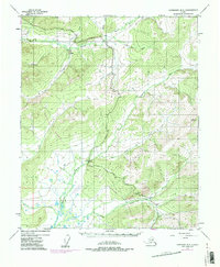
Other maps of this area

1945 · Livengood
USGS Topo · 1:250,000

1951 · Livengood
USGS Topo · 1:250,000

1951 · Livengood C-2
USGS Topo · 1:63,360

1951 · Livengood B-2
USGS Topo · 1:63,360

1951 · Livengood A-4
USGS Topo · 1:63,360

1952 · Livengood C-4
USGS Topo · 1:63,360

1952 · Livengood A-2
USGS Topo · 1:63,360

1953 · Livengood B-4
USGS Topo · 1:63,360

1953 · Livengood A-4
USGS Topo · 1:63,360

1953 · Livengood A-3
USGS Topo · 1:63,360