
1951 Map of Livengood C-2
USGS Topo · Published 1970About this map
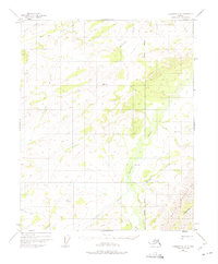
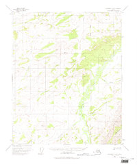
The White Mountains dominate the eastern landscape of this interior Alaska territory, where the complex hydrology of the Yukon-Koyukuk region is documented through 1951 photogrammetric surveys. The central drainage is defined by the winding course of Beaver Creek, which transitions from upland elevations past VABM 1166 Creek toward broader lowlands. Evidence of human presence in this wilderness is sparse, centered on a lone Cabin located near the northern reaches of the creek system.
Find a feature on this map
14 named features on this map. Tap any name to fly to it.
Don’t see what you’re looking for? This feature index may not catch every label — zoom into the map to look around manually.
Map Details
Editions of this 1951 Livengood C-2 Map
3 editions found
Other maps of this area

1945 · Livengood
USGS Topo · 1:250,000

1951 · Livengood
USGS Topo · 1:250,000

1951 · Livengood D-3
USGS Topo · 1:63,360

1951 · Livengood C-1
USGS Topo · 1:63,360

1951 · Livengood B-2
USGS Topo · 1:63,360

1952 · Livengood D-2
USGS Topo · 1:63,360

1952 · Livengood D-1
USGS Topo · 1:63,360

1954 · Livengood C-2
USGS Topo · 1:63,360

1954 · Livengood C-1
USGS Topo · 1:63,360

1954 · Livengood B-3
USGS Topo · 1:63,360